FOR AUTHORS
Search
Search Results
Found 20 items.
-
3D modeling and volume measurement of bulk grains stored in large warehouses using bi-temporal multi-site terrestrial laser scanning data
Published: 23 January 2024606PDF: 330HTML: 10 -
Proposal of an integrated 3D architectural survey method for application in historic agri-food building analysis and representation
Published: 4 April 20231199PDF: 437HTML: 7 -
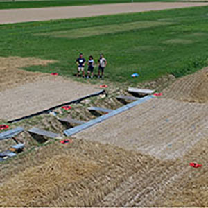
Multi-temporal geomorphometric analysis to assess soil erosion under different tillage practices: A methodological case study
Published: 31 March 20221034PDF: 456Appendix: 116HTML: 41 -
Using a terrestrial laser scanner to detect wood characteristics in gravel-bed rivers
Published: 21 December 20142023PDF: 762HTML: 519 -
Using Landsat 8 imagery in detecting cork oak (Quercus suber L.) woodlands: a case study in Calabria (Italy)
Published: 15 December 20162208PDF: 839HTML: 896 -
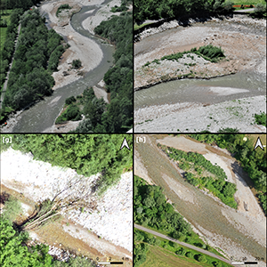
Medium- and short-term channel and island evolution in a disturbed gravel bed river (Brenta River, Italy)
Published: 26 March 20132668PDF: 749HTML: 798 -
Hydrologic performance assessment of nature-based solutions: a case study in North-eastern Italy
Published: 2 February 20231897PDF: 441Appendix: 60HTML: 17 -
Shallow landslide susceptibility assessment in a data-poor region of Guatemala (Comitancillo municipality)
Published: 1 October 20152196PDF: 699HTML: 1694 -
Best practices in post-flood surveys: The study case of Pioverna torrent
Published: 28 June 20222361PDF: 394HTML: 27 -
Erosion - deposition evaluation through hybrid DTMs derived by LiDAR and colour bathymetry: the case study of the Brenta, Piave and Tagliamento rivers
Published: 8 September 2013708PDF: 464 -
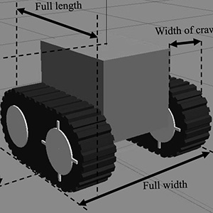
Automatic travelling of agricultural support robot for a fruit farm. Verification of effectiveness of real-time kinematic-global navigation satellite system and developed a simulator for specification design
Published: 2 February 20231522PDF: 538Appendix: 87HTML: 98 -
Riparian vegetation as a marker for bankfull and management discharge evaluation: The case study of Rio Torbido river basin (central Italy)
Published: 28 June 2021957PDF: 666HTML: 13 -
LiDAR derived high resolution topography: the next challenge for the analysis of terraces stability and vineyard soil erosion
Published: 8 September 20131291PDF: 643 -
Evaluation of short-term geomorphic changes along the Tagliamento river using LiDAR and terrestrial laser scanner surveys
Published: 8 September 2013717PDF: 438 -
Constant pressure control for variable-rate spray using closed-loop proportion integration differentiation regulation
Published: 29 September 20162071PDF: 842HTML: 1641 -
Bank erosion and large wood recruitment along a gravel bed river
Published: 10 June 20161901PDF: 880HTML: 641 -
The evolution of a mountain road network from its original use during the First World War to meeting today’s forestry needs: current management
Published: 18 December 20122132PDF: 545HTML: 227 -
Detection of Landscape patterns in airborne LIDAR data in the Nature Reserve of Castelporziano (Rome)
Published: 8 September 2013624PDF: 477 -
Land use change in the Veneto floodplain and consequences on minor network drainage system
Published: 8 September 2013784PDF: 465 -
Characterization of fluvial islands along three different gravel-bed rivers of North-Eastern Italy
Published: 8 September 2013947PDF: 509
1 - 20 of 20 items

