FOR AUTHORS
Search
Search Results
Found 23 items.
-
Shallow landslide susceptibility assessment in a data-poor region of Guatemala (Comitancillo municipality)
Published: 1 October 20152196PDF: 699HTML: 1694 -
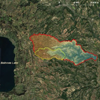
Soil depth modelling using terrain analysis and satellite imagery: the case study of Qeshlaq mountainous watershed (Kurdistan, Iran)
Published: 14 September 20171637PDF: 746HTML: 1075 -
Effectiveness of alternative management scenarios on the sediment load in a Mediterranean agricultural watershed
Published: 5 November 20142488PDF: 1042HTML: 1318 -
Evaluating flow regime alterations due to point sources in intermittent rivers: A modelling approach
Published: 28 June 2022821PDF: 436S1: 201S2: 217S3: 160HTML: 41 -
Comparative analysis of flood and rainfall frequency in the ungauged sub-watersheds of Kakia and Esamburumbur in Narok town, Kenya, using the EBA4SUB rainfall-runoff model
Published: 2 May 20221025PDF: 373HTML: 93 -
Multi-temporal geomorphometric analysis to assess soil erosion under different tillage practices: A methodological case study
Published: 31 March 20221034PDF: 456Appendix: 116HTML: 41 -
A software package for predicting design-flood hydrographs in small and ungauged basins
Published: 30 June 20152945PDF: 882HTML: 1929 -
Monitoring and multi-scenario simulation of agricultural land changes using Landsat imageries and future land use simulation model on coastal of Alanya
Published: 31 October 2023711PDF: 244HTML: 1 -
Proposal of an integrated 3D architectural survey method for application in historic agri-food building analysis and representation
Published: 4 April 20231199PDF: 437HTML: 7 -
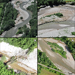
Best practices in post-flood surveys: The study case of Pioverna torrent
Published: 28 June 20222361PDF: 394HTML: 27 -
Riparian vegetation as a marker for bankfull and management discharge evaluation: The case study of Rio Torbido river basin (central Italy)
Published: 28 June 2021957PDF: 666HTML: 13 -
Adaptive simulation of the impact of changes in land use on water resources in the lower Aswa basin
Published: 26 March 20132926PDF: 761HTML: 707 -
Medium- and short-term channel and island evolution in a disturbed gravel bed river (Brenta River, Italy)
Published: 26 March 20132667PDF: 749HTML: 798 -
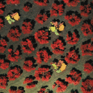
Using Landsat 8 imagery in detecting cork oak (Quercus suber L.) woodlands: a case study in Calabria (Italy)
Published: 15 December 20162208PDF: 839HTML: 896 -
Analysis of the effects of agricultural land use change on rural environment and landscape through historical cartography and GIS tools
Published: 8 March 20165722PDF: 1895HTML: 4474 -
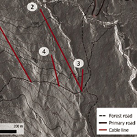
Energy efficiency of a hybrid cable yarding system: A case study in the North-Eastern Italian Alps under real working conditions
Published: 30 September 20211186PDF: 577HTML: 5 -
ArduHydro: a low-cost device for water level measurement and monitoring
Published: 23 January 2024806PDF: 581HTML: 9 -
Statistical assessment of vegetation dynamics within protected areas using remote sensing data
Published: 14 June 20132601PDF: 788HTML: 833 -
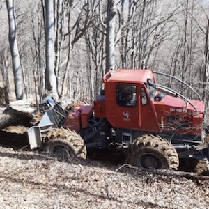
Productivity analysis and costs of wheel cable skidder during salvage logging in European beech stand
Published: 1 August 2023664PDF: 279HTML: 80 -
Hydrologic performance assessment of nature-based solutions: a case study in North-eastern Italy
Published: 2 February 20231897PDF: 441Appendix: 60HTML: 17 -
Evaluation of the morphological quality index in the Cordevole river (Bl, Italy)
Published: 18 December 20133565PDF: 1145HTML: 1734 -
Unmanned aerial vehicle and proximal sensing of vegetation indices in olive tree (Olea europaea)
Published: 12 October 2023987PDF: 434HTML: 42 -
Establishing soil loss tolerance: an overview
Published: 29 September 20162994PDF: 1739HTML: 2776
1 - 23 of 23 items