FOR AUTHORS
Search
Search Results
Found 22 items.
-
3D modeling and volume measurement of bulk grains stored in large warehouses using bi-temporal multi-site terrestrial laser scanning data
Published: 23 January 2024606PDF: 330HTML: 10 -
Proposal of an integrated 3D architectural survey method for application in historic agri-food building analysis and representation
Published: 4 April 20231199PDF: 437HTML: 7 -
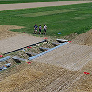
Multi-temporal geomorphometric analysis to assess soil erosion under different tillage practices: A methodological case study
Published: 31 March 20221034PDF: 456Appendix: 116HTML: 41 -
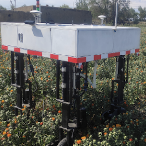
An efficient headland-turning navigation system for a safflower picking robot
Published: 11 October 2023767PDF: 363HTML: 23 -
Using a terrestrial laser scanner to detect wood characteristics in gravel-bed rivers
Published: 21 December 20142023PDF: 762HTML: 519 -
Improving building energy modelling by applying advanced 3D surveying techniques on agri-food facilities
Published: 27 September 20172520PDF: 711HTML: 245 -
Research on inspection route of hanging environmental robot based on computational fluid dynamics
Published: 20 February 20242192PDF: 94SUPPLEMENTARY MATERIAL: 15HTML: 5 -
Zanthoxylum infructescence detection based on adaptive density clustering
Published: 26 March 20241266PDF: 146SUPPLEMENTARY MATERIAL: 18HTML: 5 -
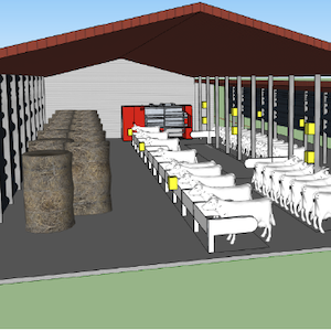
3D numerical modelling of temperature and humidity index distribution in livestock structures: a cattle-barn case study
Published: 12 May 20231137PDF: 340HTML: 29 -
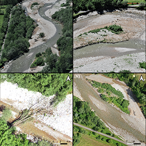
Best practices in post-flood surveys: The study case of Pioverna torrent
Published: 28 June 20222361PDF: 394HTML: 27 -
Key technology of crop precision sowing based on the vision principle
Published: 25 August 20221490PDF: 315HTML: 43 -
Monitoring and multi-scenario simulation of agricultural land changes using Landsat imageries and future land use simulation model on coastal of Alanya
Published: 31 October 2023711PDF: 244HTML: 1 -
Comparing Sentinel-1, Sentinel-2, and Landsat-8 data in the early recognition of irrigated areas in central Italy
Published: 23 December 20211246PDF: 558HTML: 59 -
Measuring oxygen saturation and pulse rate in dairy cows before and after machine milking using a low-cost pulse oximeter
Published: 14 May 20211937PDF: 607HTML: 278 -
Use of 3D scanning technique to determine tire deformation in static conditions
Published: 31 March 2022807PDF: 453HTML: 50 -
Kernel density estimation analyses based on a low power-global positioning system for monitoring environmental issues of grazing cattle
Published: 25 March 20221117PDF: 540HTML: 69 -
Using Landsat 8 imagery in detecting cork oak (Quercus suber L.) woodlands: a case study in Calabria (Italy)
Published: 15 December 20162208PDF: 839HTML: 896 -
Unmanned aerial vehicle and proximal sensing of vegetation indices in olive tree (Olea europaea)
Published: 12 October 2023987PDF: 434HTML: 42 -
Statistical assessment of vegetation dynamics within protected areas using remote sensing data
Published: 14 June 20132601PDF: 788HTML: 833 -
Analysis of irrigation system performance based on an integrated approach with Sentinel-2 satellite images
Published: 28 June 20212469PDF: 922HTML: 90 -
An innovative pneumatic electrostatic sprayer useful for tendone vineyards
Published: 1 October 20154448PDF: 1001HTML: 4723 -
An active-optical reflectance sensor in-field testing for the prediction of winter wheat harvest metrics
Published: 16 February 2024491PDF: 164SUPPLEMENTARY MATERIAL: 42HTML: 2
1 - 22 of 22 items